



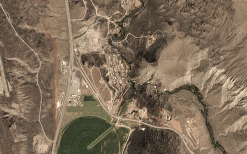
The ordeal faced by tens of thousands of people in the B.C. Interior forced to flee wildfires is clearly visible in before-and-after images taken from from space.

The images were shot by Planet, a California-based satellite company, at various times in the first two weeks of July, and released to Global News.
1. The Williams Lake airport
A fire near Williams Lake came dangerously close to the airport last week, at one point forcing it to close. On July 15, a satellite saw large areas of forest burned up to the edge of the runway.
WATCH: Smoke from the BC wildfires shut down the airport at Williams Lake on July 11.

2. Boston Flats

Get daily National news
Boston Flats, a small community north of Ashcroft, was almost wiped out by the fire. A drone video released July 12 showed all but one home had burned.
READ: Drone video shows devastation in Boston Flats after wildfire rips through region
WATCH: Dozens of homes have been torched in Boston Flats, British Columbia, as wildfires ripping across the province reduced the community to ashes.


WATCH: Wildfire devastation at Boston Flats

3. Ashcroft Indian Band
The fire destroyed over a third of the homes in the Ashcroft Indian Band, west of Ashcroft. These images show how the parched landscape burned.
READ: B.C. First Nation communities fight desperately to save their homes from wildfire
WATCH: As a more than 6,000-hectare wildfire continues to burn near Ashcroft, we are learning more about the devastation on the Ashcroft Reserve and the heroes who helped to save area properties.



Comments
Want to discuss? Please read our Commenting Policy first.