


Warm start to the long weekend before a cool down into the first day of school.

Special Air Quality Statement
Environment Canada has ended a special air quality statement for Saskatoon and most of Saskatchewan with the exception of the Pelican Narrows area.
A cold front pushing eastward into Manitoba this morning has flushed out much of the smoke from forest fires over extreme northern Saskatchewan.
However in areas with still active large fires especially in the Pelican Narrows area, poor visibility and poor air quality can still be expected today and Saturday.
For the latest weather alerts download the Global News Skytracker weather app for iPhone, iPad or Android.
Wildfire Update/Fire Bans
A fire widespread ban has been issued for all Crown land and provincial parks south of the Churchill River, Prince Albert National Park as well as the city of North Battleford, parts of Prince Albert and numerous other communities.
Open fires are prohibited and the Government of Saskatchewan says some roads and campgrounds may be closed due to the extreme fire hazard.
35 fires are burning in Saskatchewan and some are within a kilometre of communities.
Officials say fires are directly threatening the communities of Jan Lake and Birch Portage, but no structures have been lost as of Friday morning.
Fire is also currently threatening power lines that run parallel to Highway 135.

Get breaking National news
States of emergency have now been issued for Sandy Bay, Pelican Narrows and Jan Lake.
Windy conditions are expected to continue through the weekend.
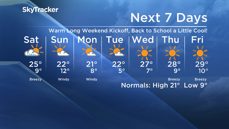
Saskatoon Forecast
Friday
Saskatoon started off the first day of September around 10 degrees with a mix of sun and cloud to start the day.
A breezy west-northwesterly winds kicked in with gusts pushing toward 50 km/h by noon as we warmed up to around 23 degrees.
Clouds will push in during the afternoon as temperatures continue their climb up into the mid 20s and winds remain breezy for the remainder of the day.
Friday Night
Clouds that built in will clear out during the evening as conditions cool back into single digits by a degree or so.
Saturday
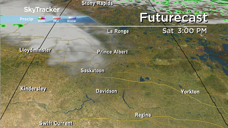
September long weekend kicks off with some sunshine on Saturday before another wave of clouds slides in during the afternoon as a wee little low pressure system slips into Alberta.
Winds will be a bit breezy during the day as we warm up to a daytime high around 25 degrees or so.


Sunday
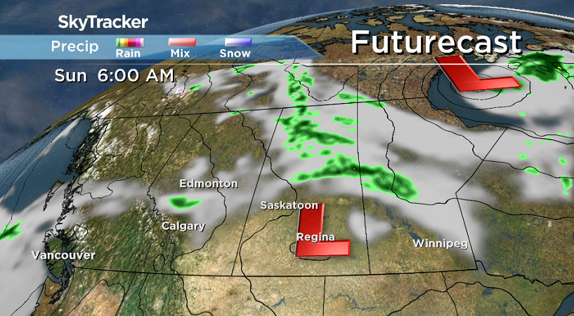
That wee little low will slide by on Sunday, strengthening as it does, and as it pulls off will bring in some cloud and cooler temperatures with some rain expected further north.
We’ll struggle to get into the mid 20s on Sunday with a breezy west-northwesterly wind gusting upwards of 50 km/h.
Labour Day Monday
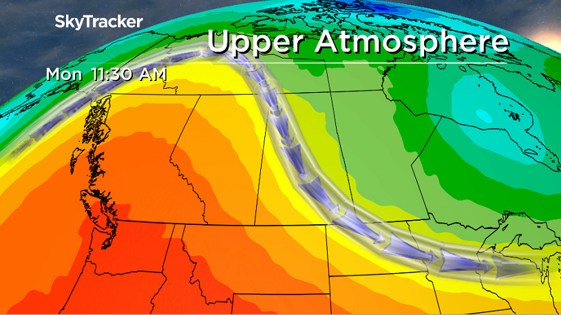
An upper ridge starts to build in from the west for Labour Day on Monday, which will continue to clear skies.
Before it brings in the heat, we have to deal with its cool counterpart, the arctic high, so daytime high-wise, we’ll attempt to make it up into the low 20s later in the day, but it’ll be a challenge.
Work Week Outlook
The first day of school on Tuesday will start off cool, with temperatures sitting in mid-single digits as you head out the door before getting up into the low 20s in the sunshine for the afternoon.
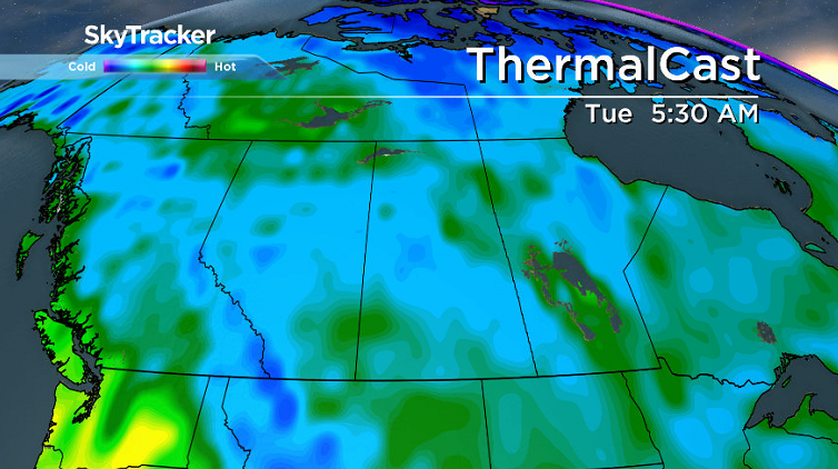
Warm air with the upper ridge will start pressing in and start to be felt by the middle to end of the week with daytime highs climbing up into the upper 20s with beautiful blue skies and sunshine galore!
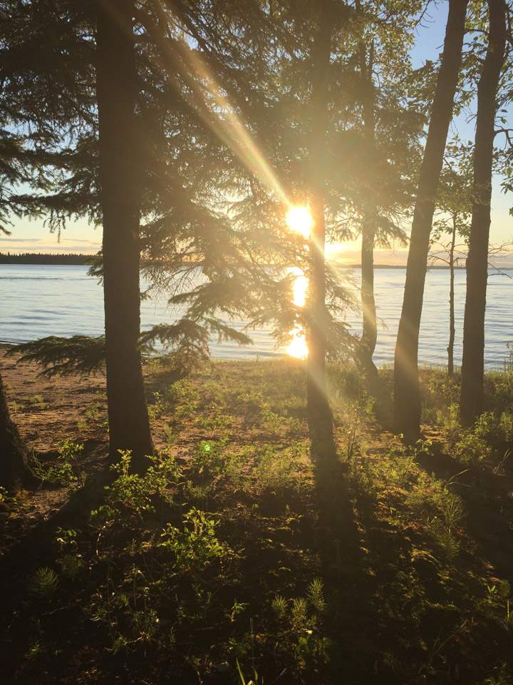
This Your Saskatchewan photo was taken by Lauryn Skoropat at Candle Lake:
Saskatoon weather outlook is your source for Saskatoon’s most accurate forecast and is your one stop shop for all things weather for central and northern Saskatchewan with comprehensive, in depth analysis that you can only find here.


Comments
Want to discuss? Please read our Commenting Policy first.