


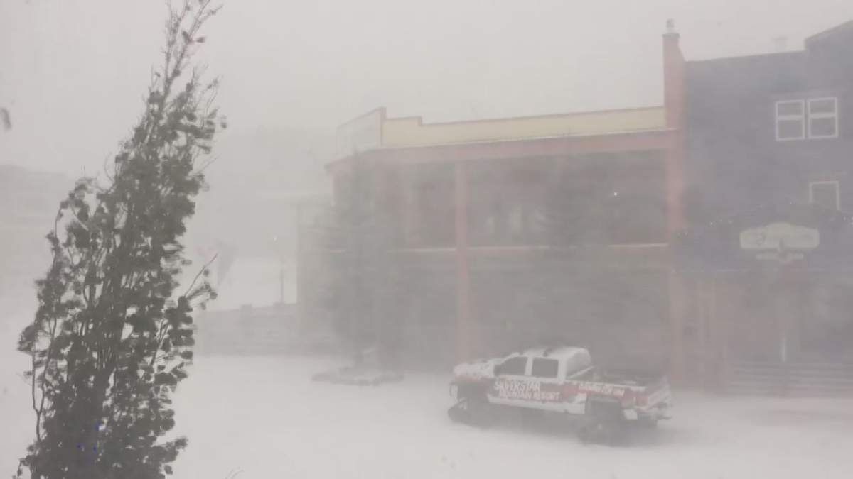
The intense fall storm that brought strong winds to the B.C. interior on Tuesday is being followed by a cold front.

- IBC estimates $230M in insured damage claimed from Edmonton storms
- Calgary area ‘very uniquely situated’ for study of hailstorms, says researcher
- Saskatchewan boosts disaster aid in response to storm-packed spring and summer
- Flooding damage closes Telus World of Science for months, 68% of staff laid off


An Environment Canada spokesperson said snow levels will drop sharply, with heavy flurries and strong winds causing a possible 10-20 centimetre snowfall in higher elevations.
Over Rogers Pass, there is a possibility of visibility being reduced to near zero, creating challenges for drivers.
Drivers travelling along the Okanagan Connector and the Coquihalla are also being warned about the possibility of heavy snowfall accompanied by wind.


Comments
Want to discuss? Please read our Commenting Policy first.