


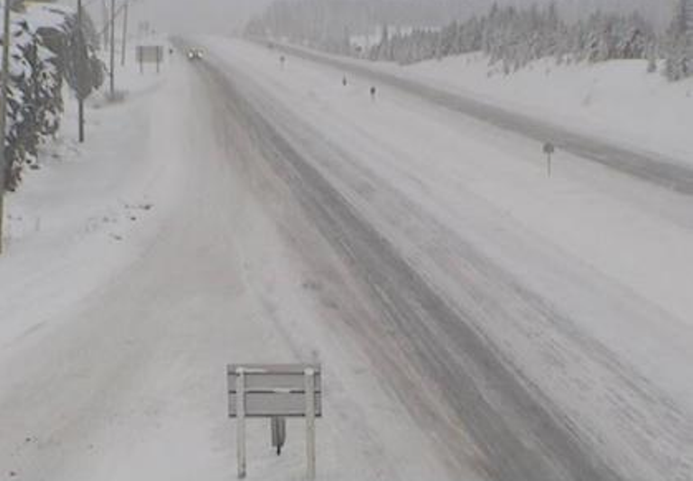
It doesn’t look like a reprieve from the weather is coming anytime soon, as Environment Canada issues another snowfall warning for the entire Okanagan Valley.

The advisory says a pacific frontal system is moving across southern B.C. and the snow will intensify this afternoon and continue through Saturday morning.
Ten to 20 centimetres of snow can be expected before the white stuff tapers off on the weekend.
Up to 20 centimetres of fresh snow is also forecast for the Shuswap region.
Meanwhile, travel advisories remain in place for the Coquihalla and Okanagan Connector highways due to heavy snowfall.
Up to 25 centimetres of new snow is expected to fall over the Coquihalla Summit between Hope and Merritt, Allison Pass from Hope to Princeton and Kootenay Pass in the Selkirk Mountains.
The Okanagan Connector between Merritt and Kelowna is also expected to get a fresh dump of snow.

Get breaking National news
Compact snow and slippery sections are expected on Highway 97 throughout the Okanagan.
The winter driving conditions are similar for Highway 33 east of Kelowna.
Highway 3 will be closed for avalanche control 30 kilometres west of Creston on Saturday from 5: 00 a.m.to 7:00 a.m.
Highway travellers are asked to adjust their speed to conditions.
Drivers should also turn on their lights and maintain a safe following distance if visibility is suddenly reduced, according to Environment Canada.
WATCH: Winter weather causes traffic gridlock on the Sea to Sky

-
![]() Winter weather creates traffic gridlock on Sea To Sky
Winter weather creates traffic gridlock on Sea To Sky -
![]() Huge pile-up shuts down Coquihalla Highway
Huge pile-up shuts down Coquihalla Highway -
![]() EXTENDED: Truck driver shares his personal story of being stranded on BC highway following storm
EXTENDED: Truck driver shares his personal story of being stranded on BC highway following storm -
![]() Hundreds stranded on Coquihalla Highway overnight, forced to sleep in their cars
Hundreds stranded on Coquihalla Highway overnight, forced to sleep in their cars -
![]() Snowfall warning issued for Coquihalla, Highway 3
Snowfall warning issued for Coquihalla, Highway 3




Comments
Want to discuss? Please read our Commenting Policy first.