


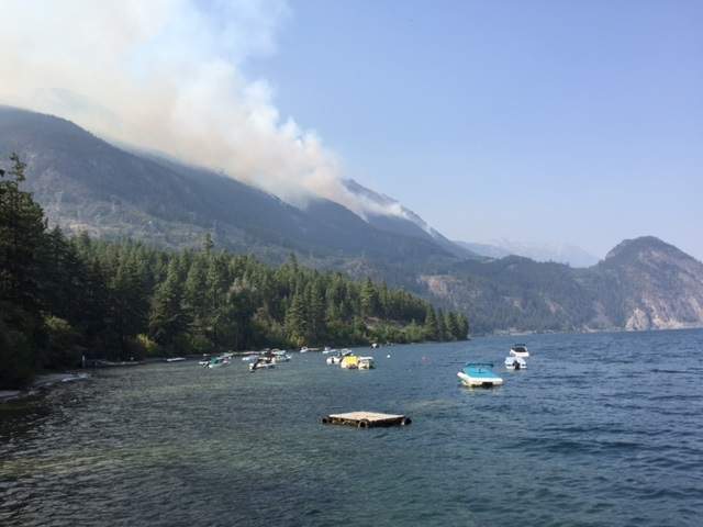
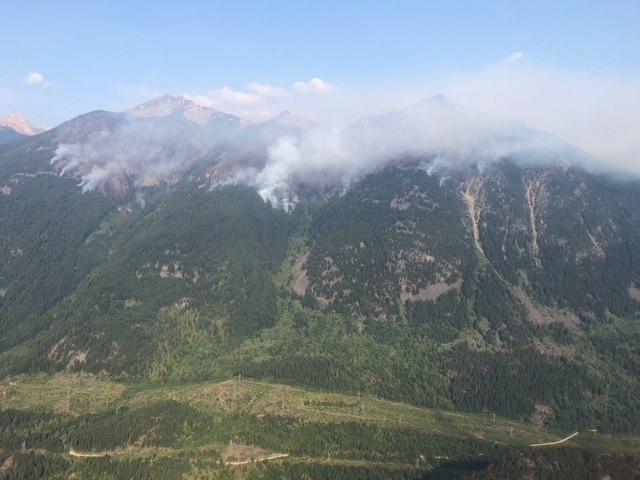
The Grouse Creek wildfire, burning 35 kilometres north of Pemberton above Anderson Lake, began showing extreme fire behaviour Wednesday night, prompting evacuation orders for an area north of D’Arcy.

The fire is moving downslope, just 4.5 kilometres from that community.
People living and camping in the McGillivray and Ponderosa recreational areas must leave immediately due to the imminent threat from the fast-moving flames.
It is not known how many people are affected.
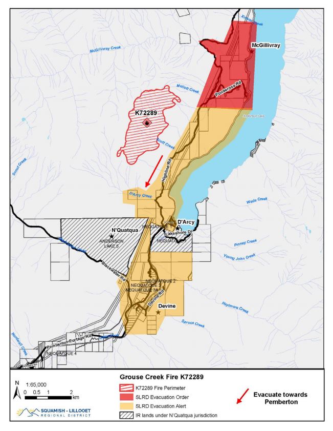
The evacuation route is south along the Highline Road toward Pemberton, according to the evacuation order issued by the Squamish-Lillooet Regional District (SLRD).
Recreational property owners should return to their fulltime residences and fulltime residents are advised to call the SLRD Emergency Operations Centre directly at 604-815-7011.
The Grouse Creek fire has been burning since Aug. 7. It was sparked by lightning, according to the BC Wildfire Service.

Get breaking National news
The blaze is burning at rank four and five, which ranges from highly vigorous surface fire with torching to extremely vigorous surface fire and trees candling, the service said.
The fire is 40 per cent contained.
- ‘Pretty scary’: Pemberton residents ready to leave as wildfire fight continues
- More than 50 wildfires burning in B.C. as multiple evacuation orders, alerts hold
- ‘It was far away until it wasn’t’: Lodge owner details harrowing northern Ontario fires
- Time-lapse video shows growth of wildfire near Pemberton


Highline Road is closed from D’Arcy to the 6 kilometre mark north of McGillivray. There is no through access from Seton Portage into the road closure area.
The D’Arcy dock is open, but RCMP will patrol the area to ensure recreational use does not disrupt BC Wildfire air support, according to the SLRD.
Ponderosa and McGillivray docks are closed.
“This is private property and any access to these areas will be considered a violation of the evacuation order by the RCMP,” the SLRD said.


Comments
Want to discuss? Please read our Commenting Policy first.