


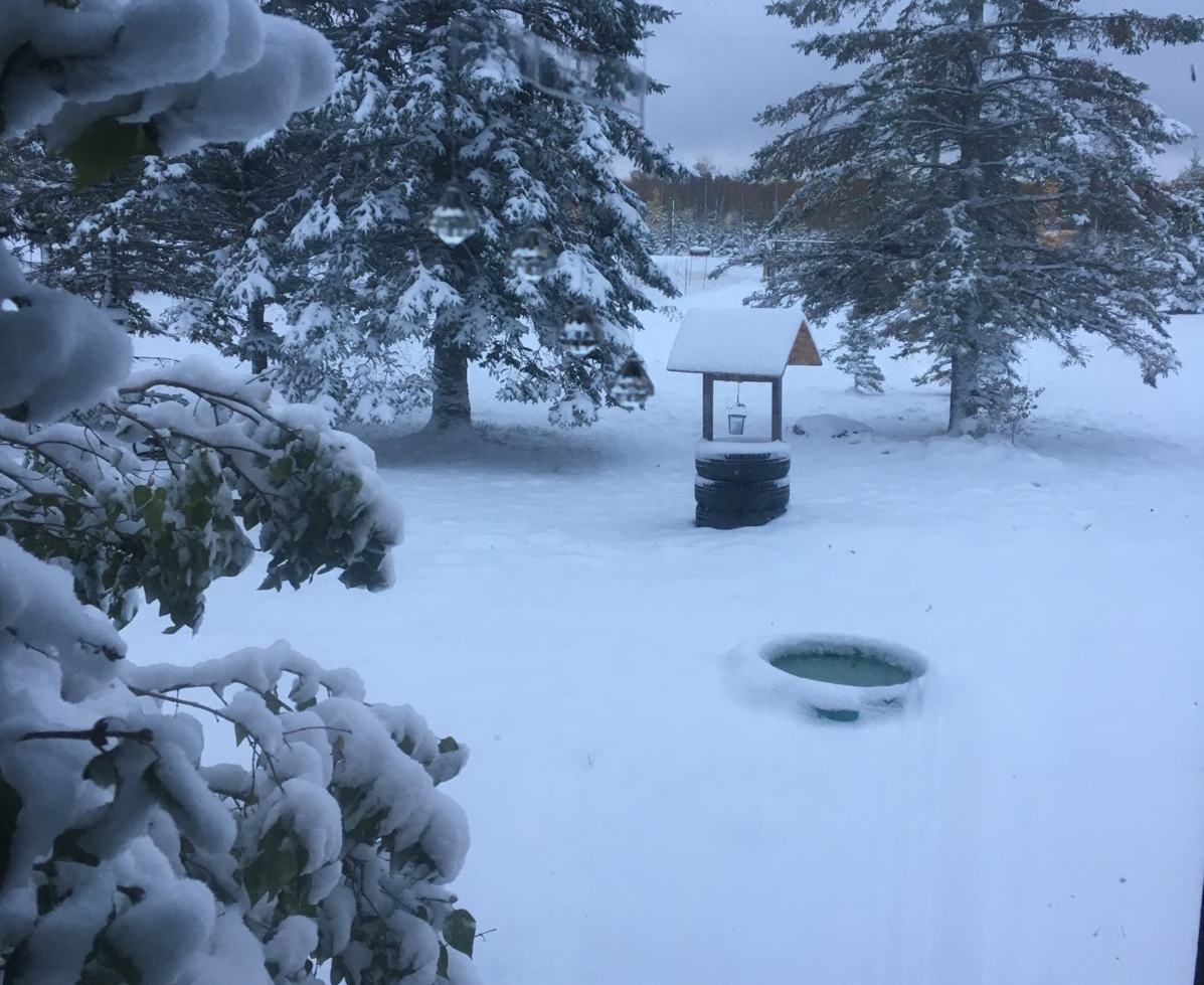
Winnipeg managed to avoid significant snowfall Wednesday through Thursday morning courtesy of a Colorado Low.

According to Environment and Climate Change Canada (ECCC), snowfall totals between Sprague and the Whiteshell ranged from 10-20 centimetres.
Here are the snowfall totals in centimetres from ECCC from the morning October 11, 2018.
- Sprague 14
- Pinawa 14
- Rennie 13
- Steinbach area 5-10
- Emerson 5-10
- Kleefeld 8
- Niverville 7
- St. Pierre Jolys 6
- Gretna 5
- Great Falls 4
- Morris 3
- Morden 1
- Winnipeg <1
There was also a CoCoRaHS measuring station in Sundown which measured 18.3 cm.
Snowfall totals south of the border were even higher with more than 30 cm of snow falling before 3 p.m.
Slow-moving, heavier bands of snow contributed to the higher snowfall amounts.

Get daily National news
Behind the snow will be some bitter cold. Record cold temperatures were set Thursday morning in Thompson at -15.2° C and Gillam at -11.8° C.
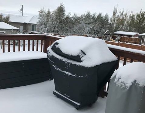
With clearing skies Thursday night temperatures in Winnipeg are expected to drop down to -8 C by Friday morning. The record low for Oct. 12 is -8.9 C set back in 1874 and 1919.


There is also more precipitation in the forecast for southern Manitoba, starting Friday evening starting with a mix of rain and snow continuing into Sunday.
WATCH: A look at what drives road condition reports in Manitoba



Comments
Want to discuss? Please read our Commenting Policy first.