

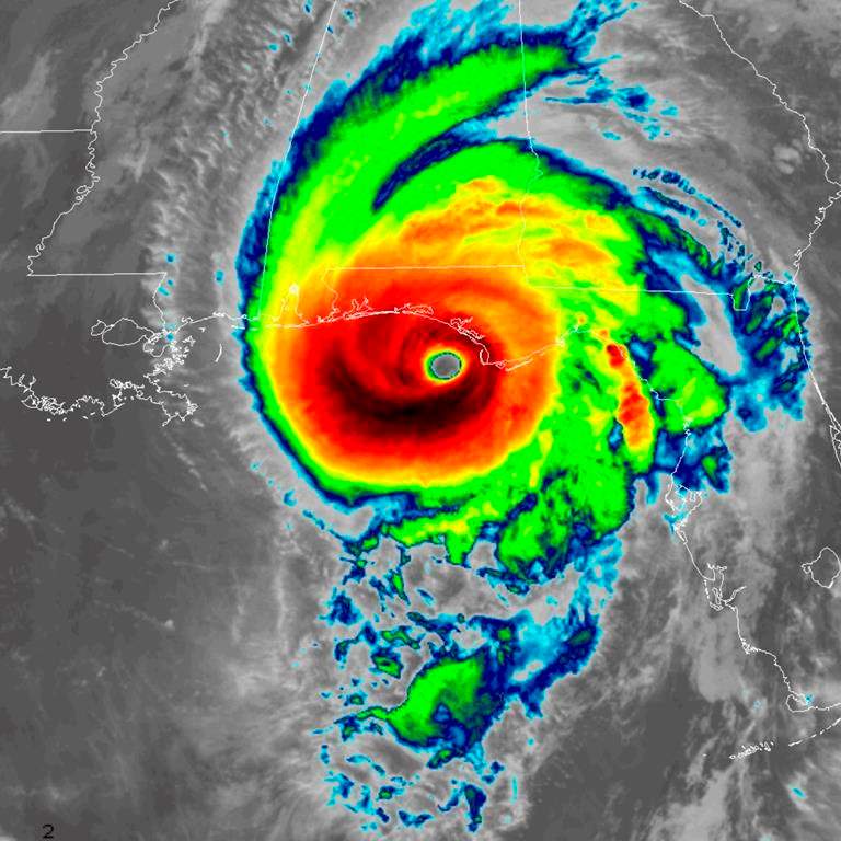
Post-tropical storm Michael is expected to make its exit from Atlantic Canada, but not before bringing large swells, minor storm surges and changes in water levels to parts of Newfoundland and Labrador.

According to Environment Canada, Michael will quickly track over the Grand Banks and out to sea today.
WATCH: Hurricane Michael kills at least 6; weakens to tropical storm

The national weather forecaster says these conditions can pose a danger to those near the shoreline, but they expect infrastructure impacts to be minor.
READ MORE: Florida man captures eerie blue skies, sunshine amid storm

Get daily National news
Winds are expected to stay at around 110 km/h as Michael moves east.
- IBC estimates $230M in insured damage claimed from Edmonton storms
- Calgary area ‘very uniquely situated’ for study of hailstorms, says researcher
- Saskatchewan boosts disaster aid in response to storm-packed spring and summer
- Flooding damage closes Telus World of Science for months, 68% of staff laid off


Environment Canada advises people to continue monitoring the situation, noting that even small changes in the speed and track of the post-tropical storm can make a big difference in the forecast.
Much of Atlantic Canada was hit by heavy rain and winds on Friday.



Comments
Want to discuss? Please read our Commenting Policy first.