


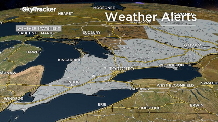
After recent days of higher than normal temperatures in parts of southern Ontario, be prepared for the possibility of heavy rainfall with a passing cold front.

“There are the right dynamics in place for some heavy rain with these cells as they move across southern Ontario and the GTA,” Global News meteorologist Ross Hull said Thursday evening.

Get daily National news
Environment Canada issued special weather statements Thursday afternoon for regions between Windsor and Cornwall and for areas south of, and including, Algonquin Park.
READ MORE: Current weather conditions in Toronto
Officials warned areas could potentially see 30 to 40 millimetres of rain late Friday and into Saturday with up to 50 millimetres of localized precipitation possible.
- IBC estimates $230M in insured damage claimed from Edmonton storms
- Calgary area ‘very uniquely situated’ for study of hailstorms, says researcher
- Saskatchewan boosts disaster aid in response to storm-packed spring and summer
- Flooding damage closes Telus World of Science for months, 68% of staff laid off


Hull encouraged residents to be on the lookout for rainfall watches and warnings on Friday, adding strong winds could also be a possibility.
In Toronto on Thursday, the high reached 21.4 C, according to Environment Canada data. The average high is 14.4 C. The forecast for Saturday calls for a high of 15 C, which is about four degrees cooler than what’s expected on Friday.


Comments
Want to discuss? Please read our Commenting Policy first.