


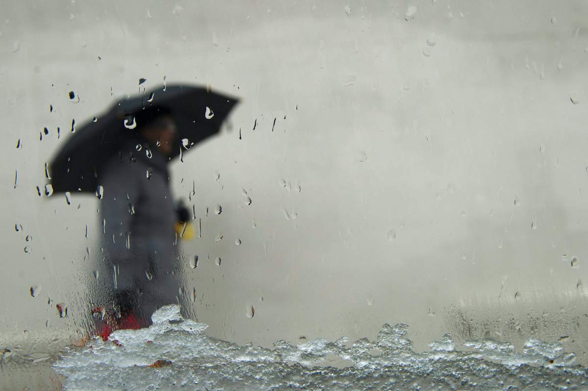
Environment Canada says a “messy mix of precipitation” is expected to move through Toronto and southern Ontario on Monday.

The weather agency said it has issued a winter weather travel advisory.
They said precipitation is expected to begin Monday morning as a mix of ice pellets and freezing rain.
By the early afternoon, temperatures are expected to climb above the freezing mark — especially near the lake — and precipitation will change over to rain.

Get breaking National news
Wet snow is expected by the late afternoon before ending in the evening, the weather agency said.
- IBC estimates $230M in insured damage claimed from Edmonton storms
- Calgary area ‘very uniquely situated’ for study of hailstorms, says researcher
- Saskatchewan boosts disaster aid in response to storm-packed spring and summer
- Flooding damage closes Telus World of Science for months, 68% of staff laid off


Meanwhile, to the west and south in Ontario, a freezing rain warning is in effect for areas such as Peel, Halton, Hamilton to London and Windsor.
Motorists are advised to give themselves extra time for both the morning and afternoon commutes.
“Poor weather conditions may contribute to transportation delays,” Environment Canada said. “Be prepared to adjust your driving with changing road conditions. Slow down driving in slippery conditions.”


Comments
Want to discuss? Please read our Commenting Policy first.