


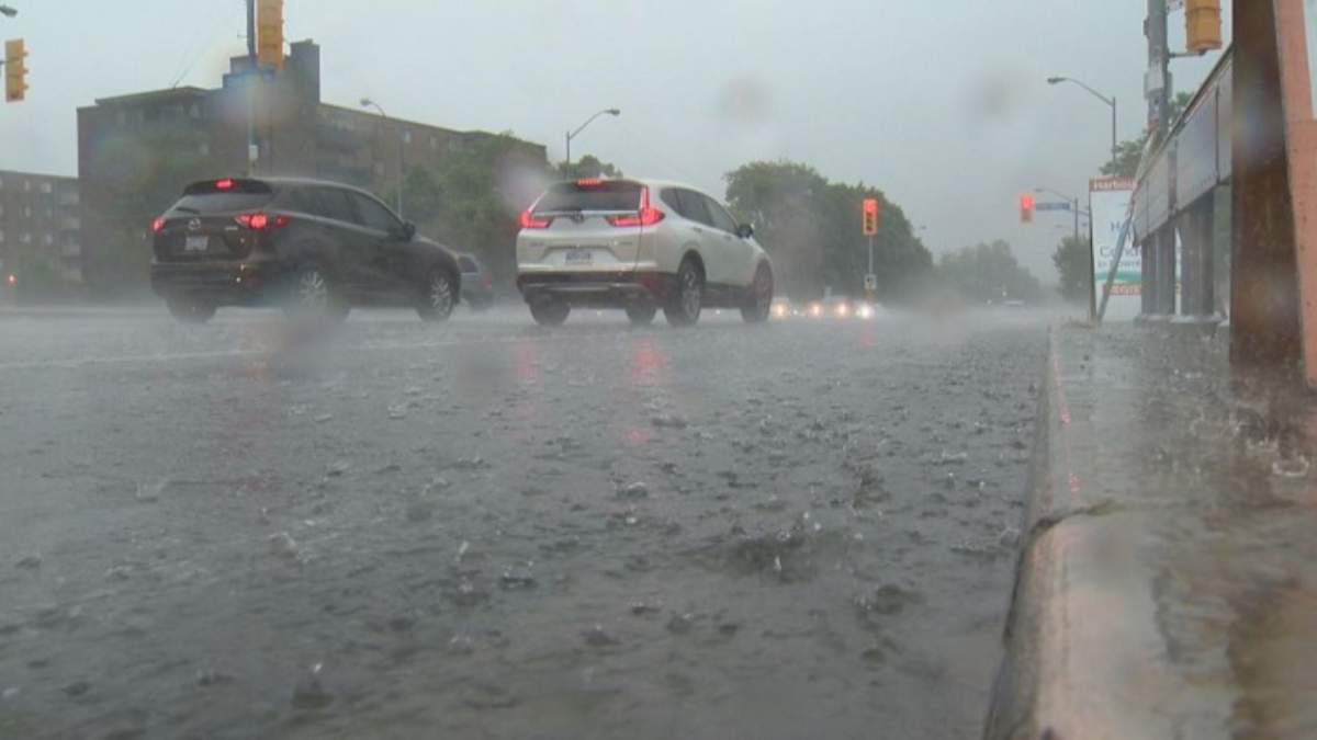
Environment Canada issued a severe thunderstorm watch for Hamilton and Niagara Region Thursday afternoon.

Local meteorologists say “nickel to ping pong ball” size hail is possible with wind gusts up to 110 kilometres per hour.
“Large hail can damage property and cause injury,” the weather agency said in a statement.
“Strong wind gusts can toss loose objects, damage weak buildings, break branches off trees and overturn large vehicles.”
Global News chief meteorologist Anthony Farnell says an approaching cold front interacting with the current heat wave in the region “spells trouble.”

Get daily National news
“There is a risk of rotating storms creating super cells that could even lead to tornadoes,’ Farnell said.
He says the good news is the region will return to more seasonable weather on Friday.
The general forecast calls for clearing Thursday evening and into Friday morning with wind gust up to 60 kilometeres per hour.
- IBC estimates $230M in insured damage claimed from Edmonton storms
- Calgary area ‘very uniquely situated’ for study of hailstorms, says researcher
- Saskatchewan boosts disaster aid in response to storm-packed spring and summer
- Flooding damage closes Telus World of Science for months, 68% of staff laid off


The low on Thursday should be around 17 C, while the high Friday is expected to reach 25 C with a humidex of 29 C.
Sunshine is expected for most of the weekend with highs of around 19 C.

-
![]() Insurance tips if a natural disaster causes damage to your home
Insurance tips if a natural disaster causes damage to your home -
![]() Man dead after shooting in Toronto parking lot near Sheppard subway station
Man dead after shooting in Toronto parking lot near Sheppard subway station -
![]() Canadians should have confidence in Court integrity and impartiality, says chief justice of Canada
Canadians should have confidence in Court integrity and impartiality, says chief justice of Canada -
![]() COVID-19 reinfection risk, even if you’re fully vaccinated
COVID-19 reinfection risk, even if you’re fully vaccinated -
![]() Russia-Ukraine conflict: France’s Macron says war crimes committed in Irpin
Russia-Ukraine conflict: France’s Macron says war crimes committed in Irpin




Comments
Want to discuss? Please read our Commenting Policy first.