

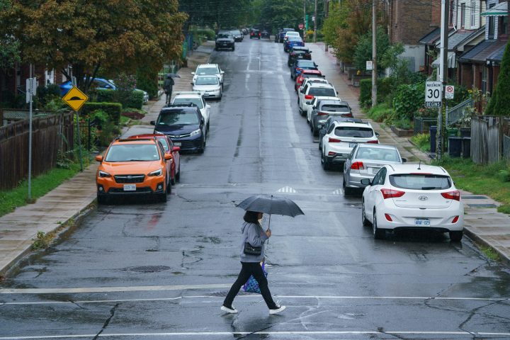
TORONTO — Rainfall warnings are in place for large parts of southern Ontario today as Environment Canada says possible downpours could cause flash floods and pooling.

The agency is forecasting rainfall upwards of 20 millimetres today — heavy at times — across a large band of southern Ontario from Windsor, through the Greater Toronto Area to Ottawa.

Get breaking National news
It says the frozen ground has limited ability to absorb the rainfall.
A provincial flood watch across southern Ontario noted no major flooding was expected but some localized flooding was possible in floodplains, low lying areas and places with poor drainage.
- IBC estimates $230M in insured damage claimed from Edmonton storms
- Calgary area ‘very uniquely situated’ for study of hailstorms, says researcher
- Saskatchewan boosts disaster aid in response to storm-packed spring and summer
- Flooding damage closes Telus World of Science for months, 68% of staff laid off


Environment Canada says rainfall could hit 35mm over some locations.
The unseasonal conditions are expected to continue into next week, with Environment Canada forecasting a high of 13C Tuesday in parts of southwestern Ontario before daytime temperatures dip below freezing again on Thursday.


Comments
Want to discuss? Please read our Commenting Policy first.