

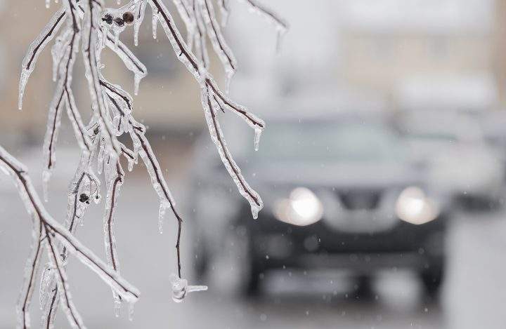
Parts of Ontario are under freezing rain and winter storm warnings with Environment Canada forecasting a possible major ice storm in the east.

The agency says the Ottawa area could see up to 15 millimetres of ice buildup once the storm rolls through overnight and into Wednesday afternoon.

Get breaking National news
Environment Canada says it has the potential to be a major ice storm for the region, but that will hinge on how much precipitation falls as ice pellets rather than freezing rain.
Power outages are possible in the area and across parts of central Ontario, including Huntsville and Greater Sudbury, which are also under freezing rain warnings.
- IBC estimates $230M in insured damage claimed from Edmonton storms
- Calgary area ‘very uniquely situated’ for study of hailstorms, says researcher
- Saskatchewan boosts disaster aid in response to storm-packed spring and summer
- Flooding damage closes Telus World of Science for months, 68% of staff laid off


Meanwhile, a large swath of northern Ontario is under a winter storm warning, with a blast of snow and ice expected to hit Tuesday night before tapering off Wednesday night.
Kenora, Thunder Bay and surrounding regions could see up to 25 centimetres of snow and ice accumulate over the course of the storm, with wind gusts up to 70 kilometres an hour.


Comments
Want to discuss? Please read our Commenting Policy first.