






Environment Canada is issuing a special weather statement for Southern Manitoba on Wednesday morning.

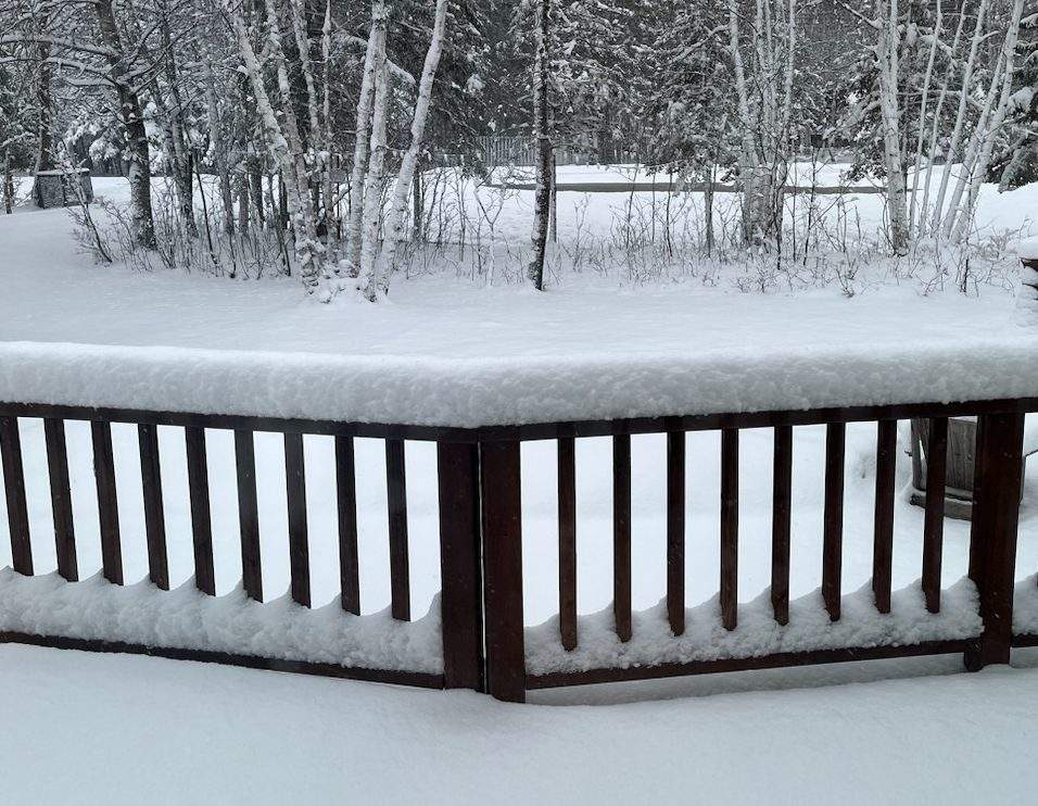
Additional snow is coming to the southern portion of Manitoba on Thursday, according to Environment Canada.
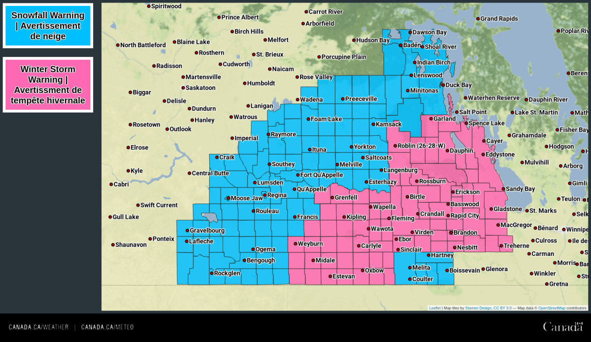
While parts of western Manitoba deal with a winter storm on Wednesday, the Red River Valley and points eastward to the Ontario border will largely be spared from the worst conditions.
Scattered rain showers mixed at times with wet snow with little in the way of accumulation is forecast for eastern Manitoba on Wednesday.
- Calgary area ‘very uniquely situated’ for study of hailstorms, says researcher
- Saskatchewan boosts disaster aid in response to storm-packed spring and summer
- Flooding damage closes Telus World of Science for months, 68% of staff laid off
- Wildfire smoke transforms skies as air quality plummets across Canada


On Thursday, a second disturbance will push northward out of the United States giving another round of heavy, wet snow to southern Manitoba. This disturbance will give another shot of 10 to 20 cm of snow to much of southern Manitoba, roughly from Brandon to the Ontario border.

Get breaking National news
The snow will persist through much of the day on Friday before finally pulling out of the province on Friday evening. Below normal temperatures are forecast in the wake of this system with temperatures remaining in the single digits before returning to more seasonal temperatures by the middle of next week.



Comments
Want to discuss? Please read our Commenting Policy first.