


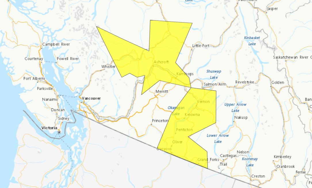
A severe thunderstorm watch has been issued for the Okanagan, South Cariboo and South Thompson regions, plus part of the Fraser Canyon, in B.C.’s Interior.

According to Environment Canada, weather conditions on Saturday are favourable for the development of dangerous thunderstorms that may be capable of producing strong wind gusts, large hail and torrential rain.
Originally, the weather alert was just for the South Thompson and Fraser Canyon, but was later expanded to include the 100 Mile House area.
Then, later on, the entire Okanagan was also added, along with part of the Boundary region.

Elsewhere, throughout the Southern Interior, the national weather agency is calling for a mix of sun and clouds, along with a 60 per cent chance of showers and a risk of thunderstorms.
- IBC estimates $230M in insured damage claimed from Edmonton storms
- Calgary area ‘very uniquely situated’ for study of hailstorms, says researcher
- Saskatchewan boosts disaster aid in response to storm-packed spring and summer
- Flooding damage closes Telus World of Science for months, 68% of staff laid off


Temperatures are projected to reach 24 to 26 C before dropping to 13 C overnight.

Get daily National news
For Sunday, it’s much the same forecast, with sun, clouds, a 40 per chance of rain, a risk of thunderstorms and highs around 29 C.



Comments
Want to discuss? Please read our Commenting Policy first.