


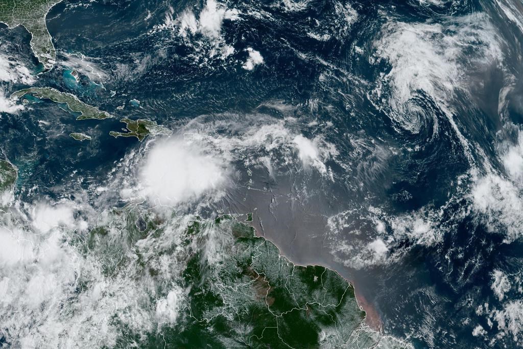
The Canadian Hurricane Centre says a tropical storm originally forecast to affect parts of southeastern Newfoundland this week is no longer expected to have much impact on land.

It says the latest models show Tropical Storm Franklin is tracking further south and more slowly than originally predicted, taking it further away from the province’s coast.

Get breaking National news
The centre says Franklin may graze the southern Grand Banks marine district, but those odds are decreasing.
Despite the change in the storm’s path, however, the centre says Atlantic Canada should still brace for heavy rain from Wednesday through Friday.
It says ocean swells are expected to bring heavy surf conditions to parts of the coasts of Nova Scotia and southern Newfoundland by Wednesday, especially now that Franklin is forecast to briefly reach Category 4 intensity on its journey north.
- IBC estimates $230M in insured damage claimed from Edmonton storms
- Calgary area ‘very uniquely situated’ for study of hailstorms, says researcher
- Saskatchewan boosts disaster aid in response to storm-packed spring and summer
- Flooding damage closes Telus World of Science for months, 68% of staff laid off


The centre originally planned to issue bulletins on the storm every six hours starting on Monday, but now says it will provide one update that day and another on Tuesday if required.
This report by The Canadian Press was first published Aug. 27, 2023.


Comments
Want to discuss? Please read our Commenting Policy first.