



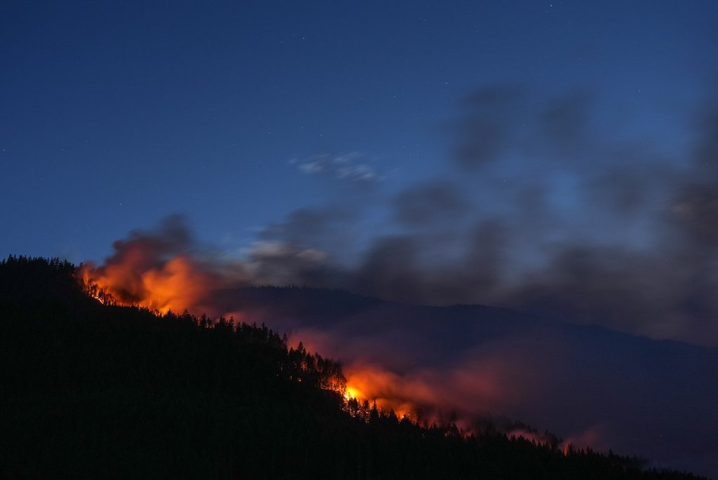
Wildfire season continues to blaze across parts of the country after several brutal seasons and, as the fires burn, the smoke and heat can create volatile weather phenomena such as tornadoes and lightning.

The Canadian Interagency Forest Fire Centre states that there are 919 active wildfires in Canada, with 3,891 total year-to-date wildfires.
“I’d think it’s fair to say that we’ve moved into a new wildfire regime,” Kent Moore, atmospheric physics professor at the University of Toronto, said. “Summers now are getting quite extreme burns across forests in Canada and also other places in the world, so I think people have to learn about wildfires and the damage that can come to them.”
Moore also stated the reason Canada is seeing more wildfires stems from the effects of climate change.
“The planet is warming and northern Canada is warming at a greater rate than the rest of the Earth, and so that leads to drier conditions, and also they warrant more heat obviously, so heat and dry conditions are really precursors to wildfires.”
But what is it about wildfires that can cause these kinds of wild weather events?
Thunderstorms
Djordie Romanic, associate professor of atmospheric sciences at McGill University, said the main cause of thunderstorms associated with wildfires is “the intensive heat that wildfires produce.”
“We aren’t seeing a small, localized fire, it’s a very large area affected by fire so there is huge amount of heat that is generated,” he said.
“Warm air is lighter than the surrounding air where we do not have wildfires, so that means that warm air caused by fires is rising. That air is also rich in humidity, rich in pollution and it can easily cause thunderstorm clouds.”
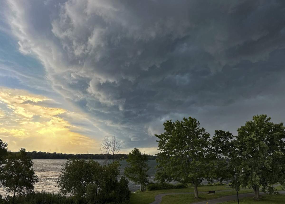
Currently, parts of Ontario are under a yellow alert thunderstorm watch.
“Normally we call normal thunderstorms cumulonimbus clouds, but in a wildfire, you can generate what are called pyrocumulomimbus clouds,” Moore said.
“In a wildfire, so much heat is being generated that you can actually trigger an updraft and that updraft can actually then trigger a condensation of water vapour in the atmosphere, which then leads to these pyrocumulonimbus clouds.”
Lightning
As a result of these thunderstorms, lightning strikes are likely to occur, according to Moore.
“Wildfires can propagate itself by generating lightning strikes through these pyrocumulomimbus clouds,” he said.

Get breaking National news
The “significant decrease” in overall air quality can also result in different lightning formulation from typical thunderstorms.
“When we have wildfires, what is really happening is we have a huge amount of smoke particles and ash that is being lifted upwards, and these small particles that enter these clouds also collide and interact,” Romanic said.
“That creates a lot of static electricity in the atmosphere and that static electricity, in simple words, needs to discharge, and that discharge is what we observed as lightning.”
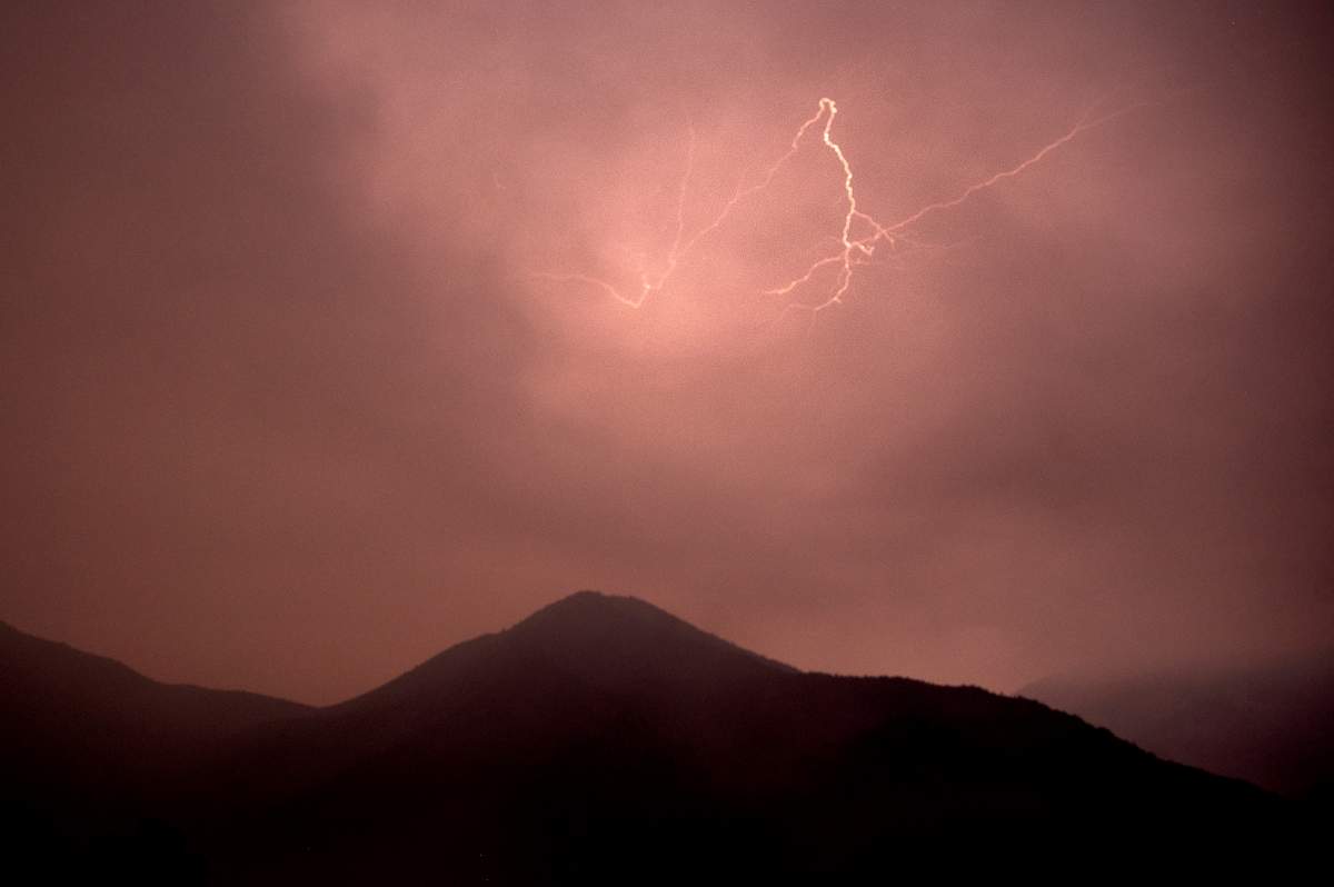
The B.C. Wildfire Service has attributed the vast majority of the new fires to the 4,000 lightning strikes it says hit the province on July 15, and the eruption of fire activity has also seen an increase in evacuation orders and alerts.
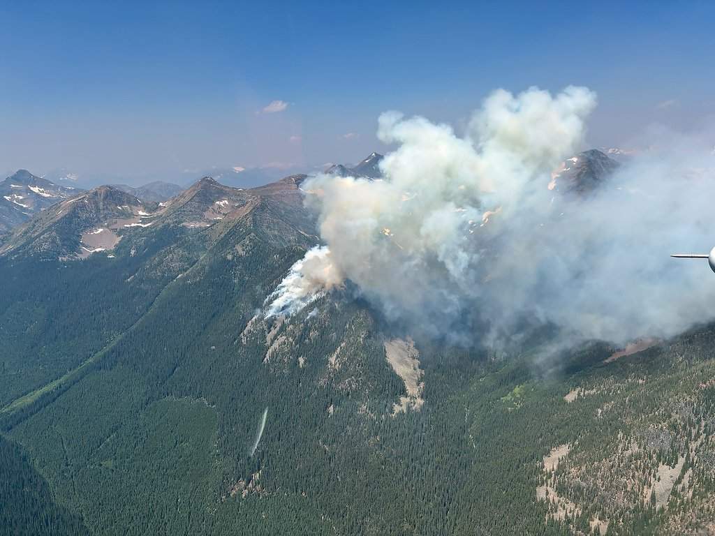
Kimberley, B.C., a city of about 8,000 people and located east of the Matthew Creek wildfire, was sparked on Saturday by lightning. The size of the fire is estimated at 567 hectares.
Tornadoes
Parts of southern Ontario were briefly under tornado warnings this weekend due to a thunderstorm located just east of Milton, Ont., that was moving southeast at 40 km/h. The possible path included the Milton, Mississauga and Oakville areas of Ontario.
Similar to pyrocumulomimbus clouds, pyro tornadoes can also occur from intense wildfires.

- Inquiry hears avalanche danger moderate on day of 2021 fatal Banff snow slide
- Air quality warning in Edmonton, much of Alberta due to N.W.T. wildfire smoke
- Federal Court orders Edmonton prison to act on complaints about extreme heat
- B.C. wildfire tally surges past 100 as lightning transforms fire season in a flash


Tornadoes can also form as a result of extreme heat events that stem from thunderstorms, bringing the possibility of flooding as a result of heavy rain.
The Canadian Prairies briefly saw a red tornado warning issued by Environment Canada on the evening of July 11, with the agency stating that the tornadoes developed as a prolonged heat event settled over southern Saskatchewan and Manitoba.
Major flooding across roadways in Edmonton’s north side, including the Yellowhead Trail freeway, occurred overnight on July 14, with parts of western Manitoba’s Parkland region experiencing up to 119 mm of precipitation at the beginning of July, resulting in an estimated 150 people needing to be evacuated.
Elevated winds
Global News meteorologist Anthony Farnell stated that “wind direction can make such a difference” in the spread of wildfires.
“As those winds change, different population centres get impacted more,” he said.
“These fires, they burn so hot, hot air rises, and it rises very quickly into the atmosphere, and it’ll keep rising as long as the temperature of that air parcel is hotter than the surrounding environment,” he added.
“So, in some cases, these fires were burning, had smoke tops 30,000 feet into the atmosphere and then it gets up to the jet stream and then that smoke travels long distances.”
Heightened winds can also contribute to the development of tornadoes, according to Romanic.
“These winds can swirl in and create tornadoes, fire tornadoes in some cases. But in some other cases, they do not have to create tornadoes. They can just be winds moving towards the fire. And they are very gusty, very prone to change of wind direction, and therefore very difficult to predict their forecast, pretty much impossible for them.”
The impact of tornadoes can also be different in comparison to tornadoes developed without wildfires.
“You can essentially help kick up even more severe wildfires because we have a strong wind, it potentially drives more oxygen to the fire, and so the tornadoes could in fact generate more extreme wildfires,” Moore said.
Air quality
Air quality is “the biggest concern” with the fallout of wildfires, according to Farnell.
“When you have fires that ignite and just burn so many hectares in a short period of time, it’s just so much smoke that enters the atmosphere that it’s going to go somewhere,” he said.
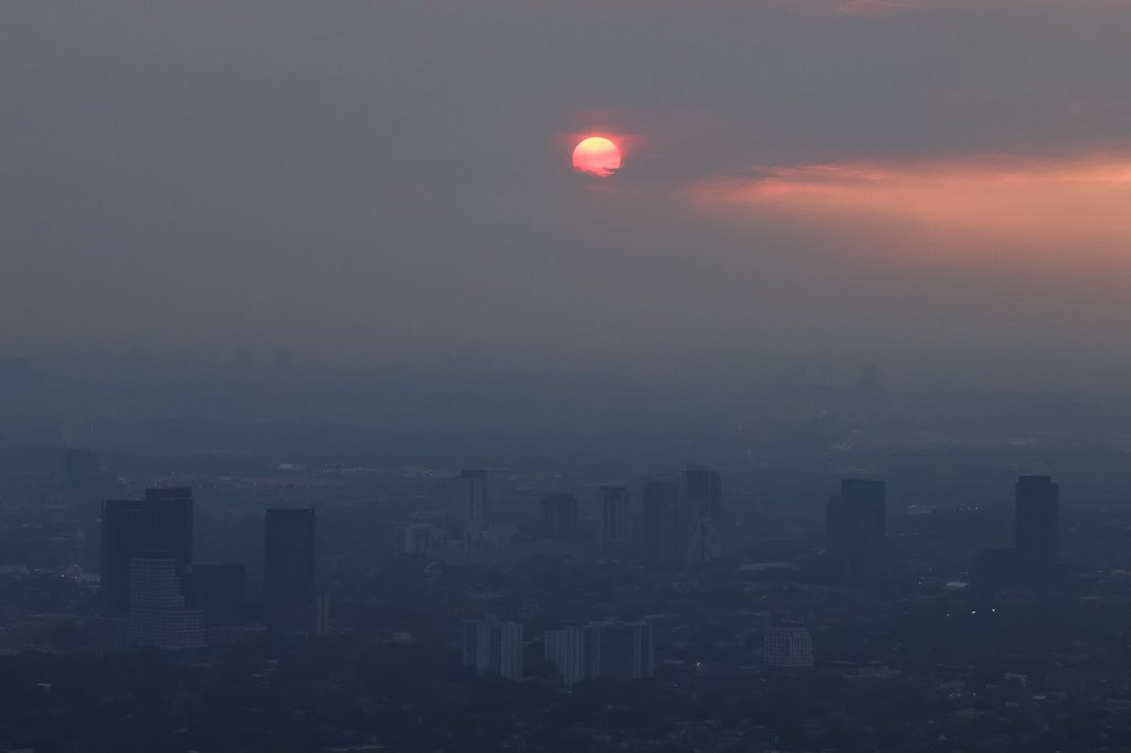
“Most of the stuff we’re breathing in is right near the surface of the Earth, and that is all the air quality reports that you are seeing,” he added. “Smoke also extends up into the atmosphere and that can linger sometimes for days, and it can also travel great distances, those fires in northwestern Ontario, some of that smoke made it all the way across the Atlantic towards Europe.”
Many Canadians woke up to orange, smoky skies on July 15, which gave Toronto the worst air quality in the world, according to IQAir, a Swiss air quality technology company that operates the world’s largest real-time air quality information platform.


Comments
Want to discuss? Please read our Commenting Policy first.