


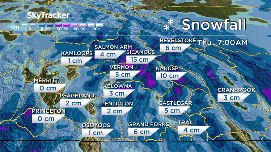
After a cool start to the week with wind chills in the minus double digits Monday morning, clouds linger into the day as temperatures pop up above freezing by a few degrees.

Snow slides in Monday night and lingers into early Tuesday with a few centimetres possible by midday as the mercury dips back to -2 C.
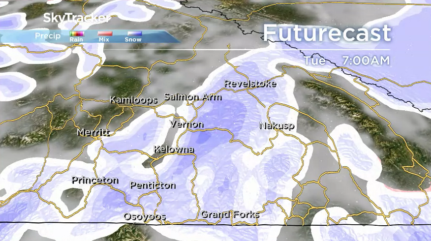
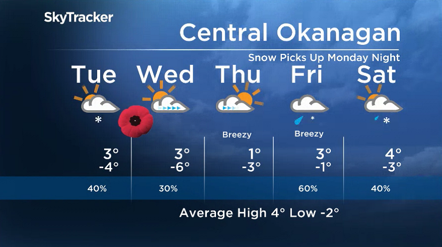
Lingering flurries will ease Tuesday afternoon as temperatures return to around 4 degrees with skies clearing out on Wednesday.
Clouds return Thursday with the risk of mixed precipitation Friday and Saturday as daytime highs manage to stay above freezing.
- Inquiry hears avalanche danger moderate on day of 2021 fatal Banff snow slide
- Air quality warning in Edmonton, much of Alberta due to N.W.T. wildfire smoke
- How do wildfires create lightning, pyro tornadoes and thunderstorms?
- Federal Court orders Edmonton prison to act on complaints about extreme heat


For weather on the go download the Global News SkyTracker Weather App for iPhone, iPad or Android.


Comments
Want to discuss? Please read our Commenting Policy first.