


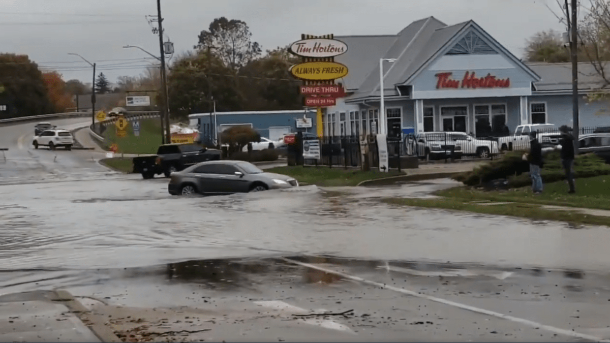
Police in Norfolk County say flooding led to a number of road closures in Port Dover, Long Point and Turkey Point on Sunday.

The closures were a result of a combination of heavy rain in the area and already high water levels near the Lake Erie shoreline over the weekend.
The Grand River Conservation Authority issued a flood warning on Saturday for areas along the Grand River, downstream of Dunnville Dam, in the village of Port Maitland and along the lakeshore.
OPP Const. Ed Sanchuk said in a social media post that he was disappointed to see a number of motorists drive past road closure signs and through a large puddle on Walker Street near St. Andrews Street on Sunday.
OPP says driving past a road closure sign is illegal and carries a $110 ticket for disobeying a sign.
- Inquiry hears avalanche danger moderate on day of 2021 fatal Banff snow slide
- Air quality warning in Edmonton, much of Alberta due to N.W.T. wildfire smoke
- How do wildfires create lightning, pyro tornadoes and thunderstorms?
- Federal Court orders Edmonton prison to act on complaints about extreme heat


On Monday, the Long Point Region Conservation Authority (LPRCA), which works with a 40-kilometre stretch of land on the north shore of Lake Erie, sent out a notice about its plan to update and create new flood-hazard mapping.
The project will look at vulnerable communities within its watershed in the hopes of updating flood-related emergency response and mitigation planning in at-risk communities with a completion date set for early 2020.


Comments
Want to discuss? Please read our Commenting Policy first.